
Thank you for supporting this site ❤️
Make a donation
Make a donation
El Capulan topographic map
Click on the map to display elevation.
Thank you for supporting this site ❤️
Make a donation
Make a donation
About this map
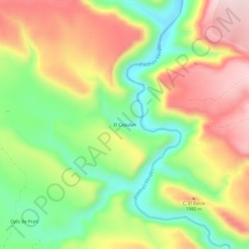
Name: El Capulan topographic map, elevation, terrain.
Location: El Capulan, Casas Grandes, Chihuahua, Mexico (30.25538 -108.30756 30.29538 -108.26756)
Average elevation: 1,883 m
Minimum elevation: 1,716 m
Maximum elevation: 2,064 m
Thank you for supporting this site ❤️
Make a donation
Make a donation