
Salinas topographic map
Interactive map
Click on the map to display elevation.
About this map
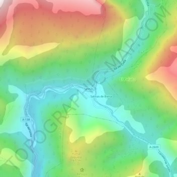
Name: Salinas topographic map, elevation, terrain.
Location: Salinas, Tella-Sin, Sobrarbe, Huesca, Aragón, 22366, Spanje (42.56406 0.20173 42.60406 0.24173)
Average elevation: 1,183 m
Minimum elevation: 723 m
Maximum elevation: 2,000 m