
Fort Erie topographic map
Interactive map
Click on the map to display elevation.
About this map
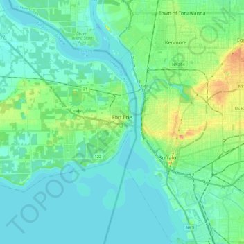
Name: Fort Erie topographic map, elevation, terrain.
Location: Fort Erie, Niagara Region, Golden Horseshoe, Ontario, Canada (42.83200 -79.12255 42.98406 -78.90595)
Average elevation: 182 m
Minimum elevation: 171 m
Maximum elevation: 223 m