
구학리 topographic map
Interactive map
Click on the map to display elevation.
About this map
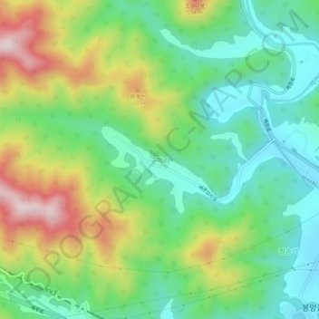
Name: 구학리 topographic map, elevation, terrain.
Location: 구학리, Jecheon, Chungcheong du Nord, 27110, Corée du Sud (37.13777 128.07111 37.17777 128.11111)
Average elevation: 384 m
Minimum elevation: 224 m
Maximum elevation: 675 m