
Thank you for supporting this site ❤️
Make a donation
Make a donation
Yalaha topographic map
Click on the map to display elevation.
Thank you for supporting this site ❤️
Make a donation
Make a donation
About this map
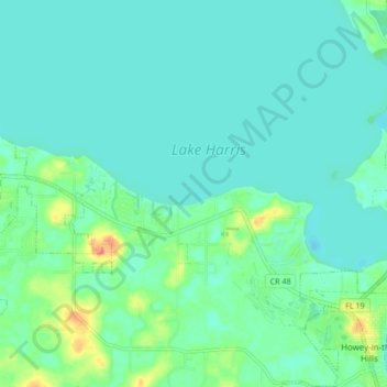
Name: Yalaha topographic map, elevation, terrain.
Location: Yalaha, Lake County, Florida, 34797, United States (28.71038 -81.86304 28.78446 -81.78033)
Average elevation: 24 m
Minimum elevation: 14 m
Maximum elevation: 59 m
Thank you for supporting this site ❤️
Make a donation
Make a donation
Other topographic maps
Click on a map to view its topography, its elevation and its terrain.
Lake Harris
United States > Florida > Lake County > Yalaha
Lake Harris' primary inflow is at its southwestern shore from the Palatlakaha River, which originates from the Clermont chain of lakes to the south. Other inflowing rivers include Helena Run and discharge from many small springs in Yalaha. Lake Harris' depth is much greater than Lake Okeechobee to the south,…
Average elevation: 25 m