
Raygad Udyan topographic map
Interactive map
Click on the map to display elevation.
About this map
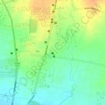
Name: Raygad Udyan topographic map, elevation, terrain.
Location: Raygad Udyan, Nashik, Maharashtra, 422004, India (20.03380 73.80514 20.03390 73.80524)
Average elevation: 604 m
Minimum elevation: 585 m
Maximum elevation: 625 m
Other topographic maps
Click on a map to view its topography, its elevation and its terrain.
Pandav-Leni
India > Maharashtra > Nashik
Pandav-Leni, Nashik, Maharashtra, 422010, India
Average elevation: 646 m
13
India > Maharashtra > Nashik > Pandav-Leni
13, Service Road, Ambad Gaon, Pandav-Leni, Nashik, Maharashtra, 422001, India
Average elevation: 656 m
Banganga River
India > Maharashtra > Nashik
Banganga River, Nashik, Maharashtra, 422001, India
Average elevation: 584 m
Nandur Madhyameshwar Dam
India > Maharashtra > Nashik
Nandur Madhyameshwar Dam, Nashik, Maharashtra, 422001, India
Average elevation: 531 m
Shree Saptashrungi Udyan
India > Maharashtra > Nashik
Shree Saptashrungi Udyan, Nashik, Maharashtra, 422001, India
Average elevation: 592 m