
Thank you for supporting this site ❤️
Make a donation
Make a donation
Parc des Prairies topographic map
Click on the map to display elevation.
Thank you for supporting this site ❤️
Make a donation
Make a donation
About this map
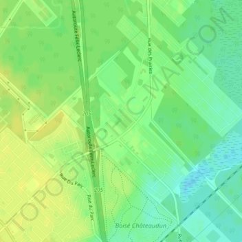
Name: Parc des Prairies topographic map, elevation, terrain.
Location: Parc des Prairies, Trois-Rivières, Mauricie, Québec, Canada (46.39994 -72.53563 46.40250 -72.53185)
Average elevation: 43 m
Minimum elevation: 32 m
Maximum elevation: 51 m
Thank you for supporting this site ❤️
Make a donation
Make a donation
Other topographic maps
Click on a map to view its topography, its elevation and its terrain.