
Ar Rawdah topographic map
Interactive map
Click on the map to display elevation.
About this map
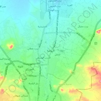
Name: Ar Rawdah topographic map, elevation, terrain.
Location: Ar Rawdah, Bani AlHareth District, Amanat Al Asimah, Yemen (15.39086 44.18329 15.47086 44.26329)
Average elevation: 2,230 m
Minimum elevation: 2,191 m
Maximum elevation: 2,341 m