
Thank you for supporting this site ❤️
Make a donation
Make a donation
Brengon topographic map
Click on the map to display elevation.
Thank you for supporting this site ❤️
Make a donation
Make a donation
About this map
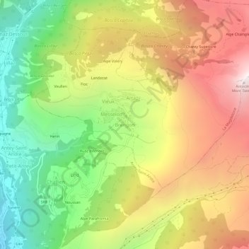
Name: Brengon topographic map, elevation, terrain.
Location: Brengon, La Magdeleine, Aosta Valley, Italy (45.78894 7.59834 45.82894 7.63834)
Average elevation: 1,755 m
Minimum elevation: 875 m
Maximum elevation: 2,715 m
Thank you for supporting this site ❤️
Make a donation
Make a donation