
Thank you for supporting this site ❤️
Make a donation
Make a donation
Lake Cormorant topographic map
Click on the map to display elevation.
Thank you for supporting this site ❤️
Make a donation
Make a donation
About this map
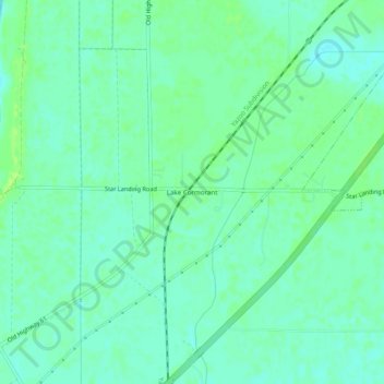
Name: Lake Cormorant topographic map, elevation, terrain.
Location: Lake Cormorant, DeSoto County, Mississippi, United States (34.88426 -90.23454 34.92426 -90.19454)
Average elevation: 63 m
Minimum elevation: 57 m
Maximum elevation: 68 m
Thank you for supporting this site ❤️
Make a donation
Make a donation