
Thank you for supporting this site ❤️
Make a donation
Make a donation
Leticia topographic map
Click on the map to display elevation.
Thank you for supporting this site ❤️
Make a donation
Make a donation
About this map
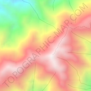
Name: Leticia topographic map, elevation, terrain.
Location: Leticia, Ortega, Sur, Tolima, RAP (Especial) Central, Colombia (4.03143 -75.34131 4.05143 -75.32131)
Average elevation: 1,657 m
Minimum elevation: 1,057 m
Maximum elevation: 2,007 m
Thank you for supporting this site ❤️
Make a donation
Make a donation