
Thank you for supporting this site ❤️
Make a donation
Make a donation
Bakenkop topographic map
Click on the map to display elevation.
Thank you for supporting this site ❤️
Make a donation
Make a donation
About this map
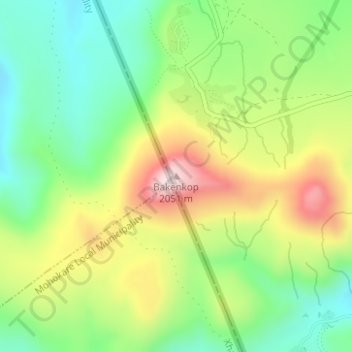
Name: Bakenkop topographic map, elevation, terrain.
Location: Bakenkop, Mohale's Hoek District, Lesotho (-29.98255 27.21665 -29.98245 27.21675)
Average elevation: 1,829 m
Minimum elevation: 1,673 m
Maximum elevation: 2,057 m
Thank you for supporting this site ❤️
Make a donation
Make a donation