
Thank you for supporting this site ❤️
Make a donation
Make a donation
Puente Fierro topographic map
Click on the map to display elevation.
Thank you for supporting this site ❤️
Make a donation
Make a donation
About this map
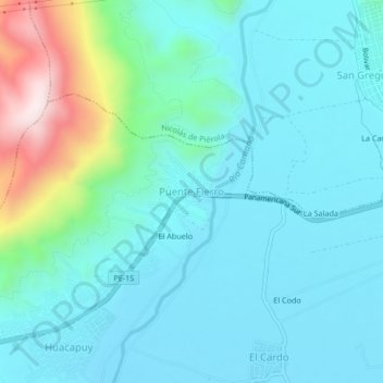
Name: Puente Fierro topographic map, elevation, terrain.
Location: Puente Fierro, José María Quimper, Camaná, Arequipa, Perú (-16.60525 -72.75547 -16.56525 -72.71547)
Average elevation: 124 m
Minimum elevation: 17 m
Maximum elevation: 608 m
Thank you for supporting this site ❤️
Make a donation
Make a donation