
Thank you for supporting this site ❤️
Make a donation
Make a donation
Altamira topographic map
Click on the map to display elevation.
Thank you for supporting this site ❤️
Make a donation
Make a donation
About this map
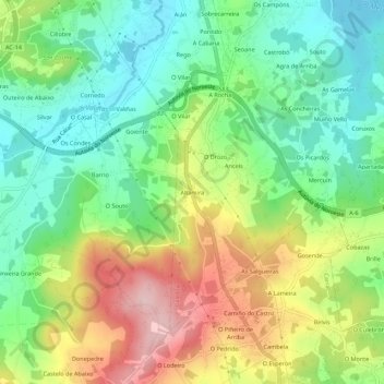
Name: Altamira topographic map, elevation, terrain.
Location: Altamira, Anceis, Cambre, La Coruña, Galicia, 15182, España (43.24377 -8.38882 43.28377 -8.34882)
Average elevation: 106 m
Minimum elevation: 9 m
Maximum elevation: 260 m
Thank you for supporting this site ❤️
Make a donation
Make a donation
Other topographic maps
Click on a map to view its topography, its elevation and its terrain.