
Porthill topographic map
Interactive map
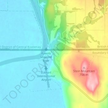
Click on the map to display elevation.
About this map
Name: Porthill topographic map, elevation, terrain.
Location: Porthill, Boundary County, Idaho, États-Unis d'Amérique (48.97829 -116.51799 49.01829 -116.47799)
Average elevation: 583 m
Minimum elevation: 532 m
Maximum elevation: 716 m