
Thank you for supporting this site ❤️
Make a donation
Make a donation
Hualatan topographic map
Click on the map to display elevation.
Thank you for supporting this site ❤️
Make a donation
Make a donation
About this map
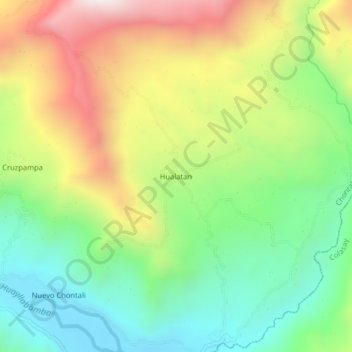
Name: Hualatan topographic map, elevation, terrain.
Location: Hualatan, Chontalí, Jaén, Cajamarca, Perú (-5.71902 -79.06464 -5.67902 -79.02464)
Average elevation: 1,602 m
Minimum elevation: 1,187 m
Maximum elevation: 2,210 m
Thank you for supporting this site ❤️
Make a donation
Make a donation