
Thank you for supporting this site ❤️
Make a donation
Make a donation
Waskemeer topographic map
Click on the map to display elevation.
Thank you for supporting this site ❤️
Make a donation
Make a donation
About this map
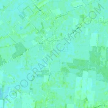
Name: Waskemeer topographic map, elevation, terrain.
Location: Waskemeer, Ooststellingwerf, Frisia, Netherlands (53.03583 6.25111 53.06941 6.30541)
Average elevation: 7 m
Minimum elevation: 3 m
Maximum elevation: 10 m
Thank you for supporting this site ❤️
Make a donation
Make a donation
Other topographic maps
Click on a map to view its topography, its elevation and its terrain.