
Thank you for supporting this site ❤️
Make a donation
Make a donation
Den Hout topographic map
Click on the map to display elevation.
Thank you for supporting this site ❤️
Make a donation
Make a donation
About this map
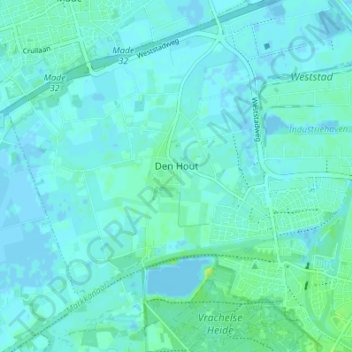
Name: Den Hout topographic map, elevation, terrain.
Location: Den Hout, Oosterhout, Noord-Brabant, Nederland (51.63458 4.78107 51.67696 4.83206)
Average elevation: 3 m
Minimum elevation: -3 m
Maximum elevation: 13 m
Thank you for supporting this site ❤️
Make a donation
Make a donation