
Thank you for supporting this site ❤️
Make a donation
Make a donation
Karur topographic map
Click on the map to display elevation.
Thank you for supporting this site ❤️
Make a donation
Make a donation
About this map
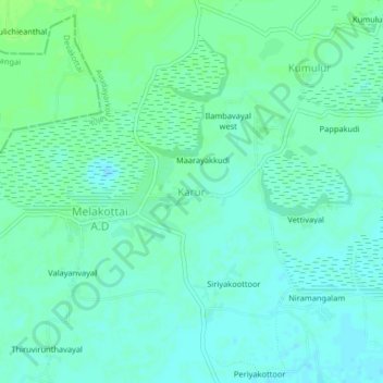
Name: Karur topographic map, elevation, terrain.
Location: Karur, Avudayarkoil taluk, Pudukkottai, Tamil Nadu, India (9.95219 79.00275 9.99219 79.04275)
Average elevation: 22 m
Minimum elevation: 17 m
Maximum elevation: 27 m
Thank you for supporting this site ❤️
Make a donation
Make a donation