
Bulloch County topographic map
Interactive map
Click on the map to display elevation.
About this map
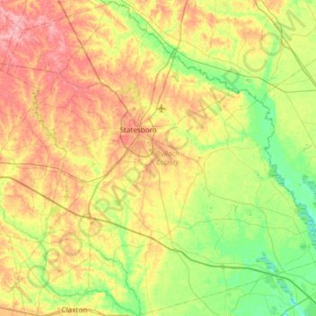
Name: Bulloch County topographic map, elevation, terrain.
Location: Bulloch County, Georgia, Estados Unidos de América (32.15279 -82.03072 32.65341 -81.43280)
Average elevation: 48 m
Minimum elevation: 7 m
Maximum elevation: 108 m