
Thank you for supporting this site ❤️
Make a donation
Make a donation
Tawangsari topographic map
Click on the map to display elevation.
Thank you for supporting this site ❤️
Make a donation
Make a donation
About this map
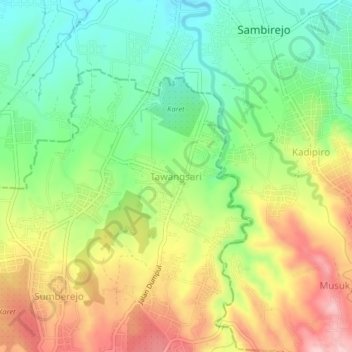
Name: Tawangsari topographic map, elevation, terrain.
Location: Tawangsari, Karanganyar, Central Java, Java, Indonesia (-7.52791 111.05420 -7.48791 111.09420)
Average elevation: 247 m
Minimum elevation: 159 m
Maximum elevation: 362 m
Thank you for supporting this site ❤️
Make a donation
Make a donation