
Thank you for supporting this site ❤️
Make a donation
Make a donation
Ar Ryadh topographic map
Click on the map to display elevation.
Thank you for supporting this site ❤️
Make a donation
Make a donation
About this map
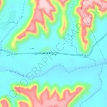
Name: Ar Ryadh topographic map, elevation, terrain.
Location: Ar Ryadh, Tarim District, Hadramaut Governorate, Yemen (16.09464 49.20496 16.13464 49.24496)
Average elevation: 632 m
Minimum elevation: 557 m
Maximum elevation: 818 m
Thank you for supporting this site ❤️
Make a donation
Make a donation
Other topographic maps
Click on a map to view its topography, its elevation and its terrain.