
Espot topographic map
Interactive map
Click on the map to display elevation.
About this map
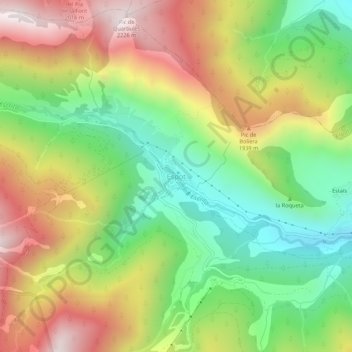
Name: Espot topographic map, elevation, terrain.
Location: Espot, Pallars Sobirá, Lérida, Cataluña, España (42.55629 1.06848 42.59629 1.10848)
Average elevation: 1,672 m
Minimum elevation: 1,227 m
Maximum elevation: 2,223 m