
Thank you for supporting this site ❤️
Make a donation
Make a donation
Trappenberg topographic map
Click on the map to display elevation.
Thank you for supporting this site ❤️
Make a donation
Make a donation
About this map
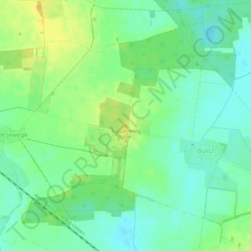
Name: Trappenberg topographic map, elevation, terrain.
Average elevation: 50 m
Minimum elevation: 39 m
Maximum elevation: 64 m
Thank you for supporting this site ❤️
Make a donation
Make a donation
Other topographic maps
Click on a map to view its topography, its elevation and its terrain.
Gutshaus Hohenwulsch
Deutschland > Sachsen-Anhalt > Stendal > Bismark (Altmark) > Hohenwulsch
Average elevation: 55 m
Thank you for supporting this site ❤️
Make a donation
Make a donation