
Thank you for supporting this site ❤️
Make a donation
Make a donation
Haberberg topographic map
Click on the map to display elevation.
Thank you for supporting this site ❤️
Make a donation
Make a donation
About this map
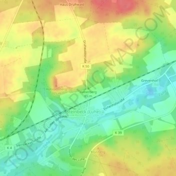
Name: Haberberg topographic map, elevation, terrain.
Location: Haberberg, Bispingen, Heidekreis, Niedersachsen, Deutschland (53.10941 10.05815 53.10951 10.05825)
Average elevation: 82 m
Minimum elevation: 52 m
Maximum elevation: 113 m
Thank you for supporting this site ❤️
Make a donation
Make a donation