
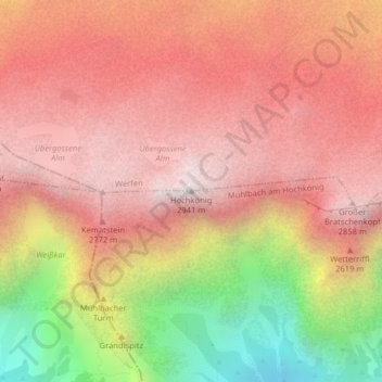
Hochkönig topographic map
Interactive map
Click on the map to display elevation.
About this map
Name: Hochkönig topographic map, elevation, terrain.
Average elevation: 2,424 m
Minimum elevation: 1,535 m
Maximum elevation: 2,940 m
Le Hochkönig ou Hochkoenig (littéralement « Haut Roi ») est un sommet des Alpes, à 2 941 m d'altitude, point culminant des Alpes de Berchtesgaden, et en particulier du chaînon du Hochkönigstock, en Autriche (land de Salzbourg).