
Oldorf topographic map
Interactive map
Click on the map to display elevation.
About this map
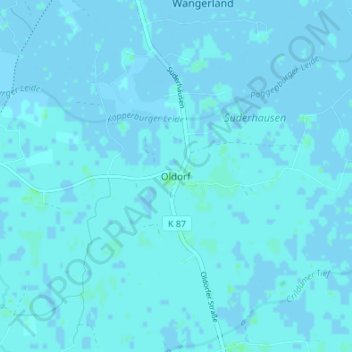
Name: Oldorf topographic map, elevation, terrain.
Location: Oldorf, Landkreis Friesland, Niedersachsen, 26434, Deutschland (53.61606 7.90313 53.65606 7.94313)
Average elevation: 1 m
Minimum elevation: -3 m
Maximum elevation: 4 m