
Hebbalu topographic map
Interactive map
Click on the map to display elevation.
About this map
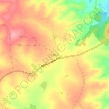
Name: Hebbalu topographic map, elevation, terrain.
Location: Hebbalu, Beluru taluk, Hassan district, Karnataka, India (13.17937 75.89669 13.21937 75.93669)
Average elevation: 988 m
Minimum elevation: 914 m
Maximum elevation: 1,032 m