
Tienhoven topographic map
Interactive map
Click on the map to display elevation.
About this map
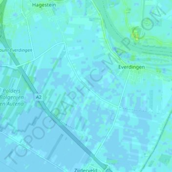
Name: Tienhoven topographic map, elevation, terrain.
Location: Tienhoven, Utrecht, Niederlande, 4124, Niederlande (51.94205 5.11795 51.98205 5.15795)
Average elevation: 1 m
Minimum elevation: -3 m
Maximum elevation: 10 m