
West Lulworth topographic map
Interactive map
Click on the map to display elevation.
About this map
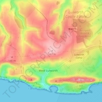
Name: West Lulworth topographic map, elevation, terrain.
Location: West Lulworth, Dorset, Inglaterra, Reino Unido (50.61597 -2.28500 50.65250 -2.21664)
Average elevation: 84 m
Minimum elevation: 0 m
Maximum elevation: 164 m