
Bas-Oha topographic map
Interactive map
Click on the map to display elevation.
About this map
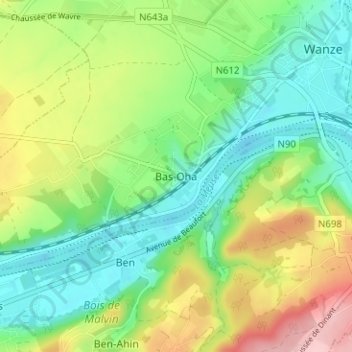
Name: Bas-Oha topographic map, elevation, terrain.
Location: Bas-Oha, Wanze, Huy, Liège, Wallonia, 4520, Belgium (50.50240 5.16806 50.54240 5.20806)
Average elevation: 124 m
Minimum elevation: 64 m
Maximum elevation: 230 m
Other topographic maps
Click on a map to view its topography, its elevation and its terrain.