
Thank you for supporting this site ❤️
Make a donation
Make a donation
La Crete topographic map
Click on the map to display elevation.
Thank you for supporting this site ❤️
Make a donation
Make a donation
About this map
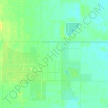
Name: La Crete topographic map, elevation, terrain.
Location: La Crete, Division No. 17, Alberta, T0H 2H0, Canada (58.17095 -116.41571 58.21095 -116.37571)
Average elevation: 323 m
Minimum elevation: 316 m
Maximum elevation: 335 m
Thank you for supporting this site ❤️
Make a donation
Make a donation
Other topographic maps
Click on a map to view its topography, its elevation and its terrain.