
Moișa topographic map
Interactive map
Click on the map to display elevation.
About this map
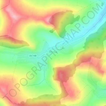
Name: Moișa topographic map, elevation, terrain.
Location: Moișa, Glodeni, Mureș, 547277, Roumanie (46.67969 24.51344 46.68873 24.54115)
Average elevation: 438 m
Minimum elevation: 360 m
Maximum elevation: 518 m
Other topographic maps
Click on a map to view its topography, its elevation and its terrain.