
Gerstungen topographic map
Interactive map
Click on the map to display elevation.
About this map
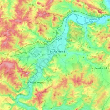
Name: Gerstungen topographic map, elevation, terrain.
Location: Gerstungen, Wartburgkreis, Thüringen, Duitsland (50.86128 10.01943 51.01319 10.33894)
Average elevation: 302 m
Minimum elevation: 193 m
Maximum elevation: 508 m