
Battel topographic map
Interactive map
Click on the map to display elevation.
About this map
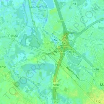
Name: Battel topographic map, elevation, terrain.
Location: Battel, Malines, Anvers, Flandre, 2811, Belgique (51.02074 4.42560 51.06074 4.46560)
Average elevation: 5 m
Minimum elevation: -3 m
Maximum elevation: 13 m