
Đông Hà topographic map
Interactive map
Click on the map to display elevation.
About this map
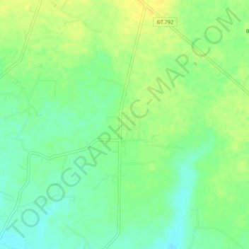
Name: Đông Hà topographic map, elevation, terrain.
Location: Đông Hà, Tân Châu District, Tay Ninh province, Vietnam (11.67237 106.22891 11.71237 106.26891)
Average elevation: 50 m
Minimum elevation: 38 m
Maximum elevation: 60 m