
Thank you for supporting this site ❤️
Make a donation
Make a donation
Santa Elena topographic map
Click on the map to display elevation.
Thank you for supporting this site ❤️
Make a donation
Make a donation
About this map
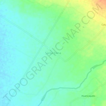
Name: Santa Elena topographic map, elevation, terrain.
Location: Santa Elena, Virú, La Libertad, Perú (-8.45185 -78.85219 -8.41185 -78.81219)
Average elevation: 30 m
Minimum elevation: 18 m
Maximum elevation: 55 m
Thank you for supporting this site ❤️
Make a donation
Make a donation