
Thank you for supporting this site ❤️
Make a donation
Make a donation
Torbole topographic map
Click on the map to display elevation.
Thank you for supporting this site ❤️
Make a donation
Make a donation
About this map
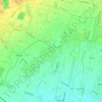
Name: Torbole topographic map, elevation, terrain.
Location: Torbole, Torbole Casaglia, Brescia, Lombardei, 25030, Italien (45.49258 10.09547 45.53258 10.13547)
Average elevation: 115 m
Minimum elevation: 101 m
Maximum elevation: 133 m
Thank you for supporting this site ❤️
Make a donation
Make a donation
Other topographic maps
Click on a map to view its topography, its elevation and its terrain.
Iseosee
Italien > Lombardei > Brescia > Marone
Der 65,3 km² große See liegt auf einer Höhe von 181 m s.l.m., ist 25 Kilometer lang und bis zu 251 Meter tief. Im See liegen die Inseln Monte Isola („Inselberg“), die größte in einem südeuropäischen Binnengewässer, sowie Isola di Loreto und Isola di San Paolo. Letztere befindet sich im Besitz der…
Average elevation: 642 m
Thank you for supporting this site ❤️
Make a donation
Make a donation