
Thank you for supporting this site ❤️
Make a donation
Make a donation
Le Cornier topographic map
Click on the map to display elevation.
Thank you for supporting this site ❤️
Make a donation
Make a donation
About this map
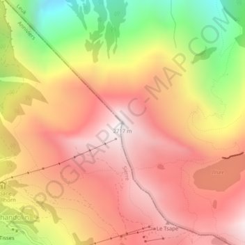
Name: Le Cornier topographic map, elevation, terrain.
Location: Le Cornier, Loèche, Valais, 3952, Suisse (46.26293 7.61617 46.26303 7.61627)
Average elevation: 2,165 m
Minimum elevation: 1,348 m
Maximum elevation: 2,705 m
Thank you for supporting this site ❤️
Make a donation
Make a donation