
Kringa topographic map
Interactive map
Click on the map to display elevation.
About this map
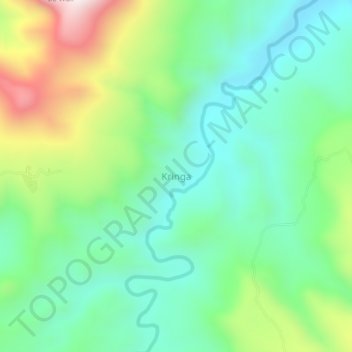
Name: Kringa topographic map, elevation, terrain.
Location: Kringa, Oost-Nusa Tenggara, Indonesië (-8.54222 122.57029 -8.50222 122.61029)
Average elevation: 286 m
Minimum elevation: 54 m
Maximum elevation: 797 m