
Ojinaga topographic map
Interactive map
Click on the map to display elevation.
About this map
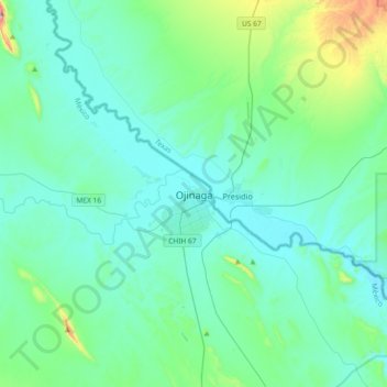
Name: Ojinaga topographic map, elevation, terrain.
Location: Ojinaga, Chihuahua, 32880, Mexico (29.40543 -104.57285 29.72543 -104.25285)
Average elevation: 866 m
Minimum elevation: 769 m
Maximum elevation: 1,452 m