
Puente Piedra topographic map
Interactive map
Click on the map to display elevation.
About this map
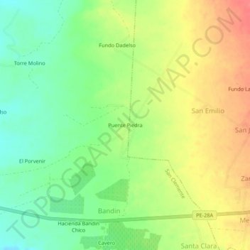
Name: Puente Piedra topographic map, elevation, terrain.
Location: Puente Piedra, Pisco, Ica, Perú (-13.68684 -76.12209 -13.64684 -76.08209)
Average elevation: 127 m
Minimum elevation: 98 m
Maximum elevation: 159 m