
Thank you for supporting this site ❤️
Make a donation
Make a donation
Gashiga topographic map
Click on the map to display elevation.
Thank you for supporting this site ❤️
Make a donation
Make a donation
About this map
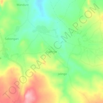
Name: Gashiga topographic map, elevation, terrain.
Location: Gashiga, Mubi South, État d'Adamawa, Nigéria (10.16982 13.29262 10.20982 13.33262)
Average elevation: 711 m
Minimum elevation: 643 m
Maximum elevation: 805 m
Thank you for supporting this site ❤️
Make a donation
Make a donation