
Thank you for supporting this site ❤️
Make a donation
Make a donation
Ashe Lake Dam topographic map
Click on the map to display elevation.
Thank you for supporting this site ❤️
Make a donation
Make a donation
About this map
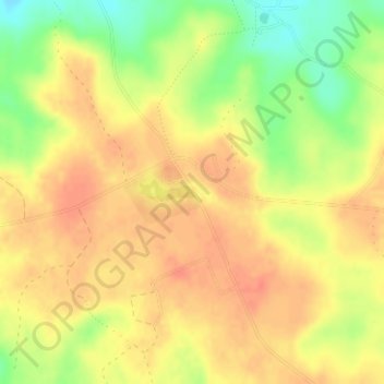
Name: Ashe Lake Dam topographic map, elevation, terrain.
Average elevation: 79 m
Minimum elevation: 48 m
Maximum elevation: 96 m
Thank you for supporting this site ❤️
Make a donation
Make a donation
Other topographic maps
Click on a map to view its topography, its elevation and its terrain.
Bell-Sandifer Leisure Park
United States > Mississippi > Forrest County > Hattiesburg
Average elevation: 49 m