
Santa Marta topographic map
Interactive map
Click on the map to display elevation.
About this map
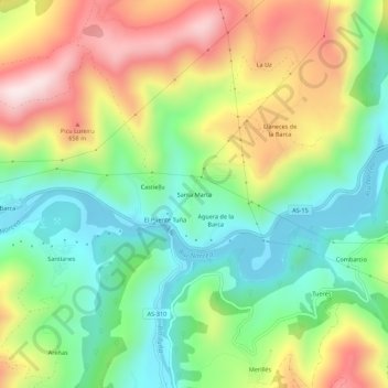
Name: Santa Marta topographic map, elevation, terrain.
Location: Santa Marta, Astúrias, Espanha (43.27519 -6.38556 43.31519 -6.34556)
Average elevation: 436 m
Minimum elevation: 208 m
Maximum elevation: 774 m