
Thank you for supporting this site ❤️
Make a donation
Make a donation
La Corne topographic map
Click on the map to display elevation.
Thank you for supporting this site ❤️
Make a donation
Make a donation
About this map
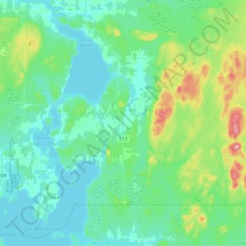
Name: La Corne topographic map, elevation, terrain.
Location: La Corne, Abitibi, Abitibi-Témiscamingue, Québec, Canada (48.28746 -78.10154 48.43049 -77.77769)
Average elevation: 327 m
Minimum elevation: 291 m
Maximum elevation: 485 m
Thank you for supporting this site ❤️
Make a donation
Make a donation