
Thank you for supporting this site ❤️
Make a donation
Make a donation
Chipdi topographic map
Click on the map to display elevation.
Thank you for supporting this site ❤️
Make a donation
Make a donation
About this map
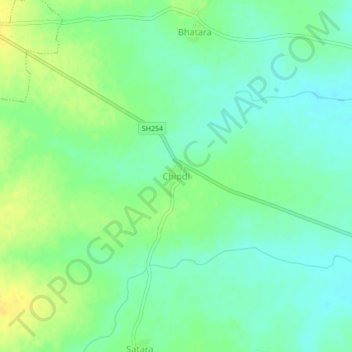
Name: Chipdi topographic map, elevation, terrain.
Location: Chipdi, Kuhi Taluka, Nagpur, Maharashtra, India (20.97238 79.38713 21.01238 79.42713)
Average elevation: 270 m
Minimum elevation: 260 m
Maximum elevation: 282 m
Thank you for supporting this site ❤️
Make a donation
Make a donation
Other topographic maps
Click on a map to view its topography, its elevation and its terrain.