
Thank you for supporting this site ❤️
Make a donation
Make a donation
La Lucha topographic map
Click on the map to display elevation.
Thank you for supporting this site ❤️
Make a donation
Make a donation
About this map
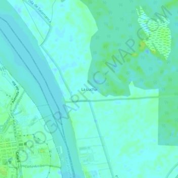
Name: La Lucha topographic map, elevation, terrain.
Location: La Lucha, Sitionuevo, Magdalena, Caribe, 080002, Colombia (10.97493 -74.77342 11.01493 -74.73342)
Average elevation: 4 m
Minimum elevation: -1 m
Maximum elevation: 11 m
Thank you for supporting this site ❤️
Make a donation
Make a donation