
Thank you for supporting this site ❤️
Make a donation
Make a donation
Woodland topographic map
Click on the map to display elevation.
Thank you for supporting this site ❤️
Make a donation
Make a donation
About this map
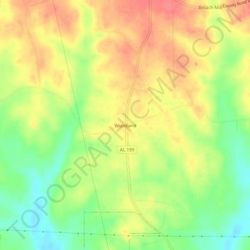
Name: Woodland topographic map, elevation, terrain.
Location: Woodland, Macon County, Alabama, United States (32.50986 -85.79273 32.54986 -85.75273)
Average elevation: 112 m
Minimum elevation: 74 m
Maximum elevation: 144 m
Thank you for supporting this site ❤️
Make a donation
Make a donation
Other topographic maps
Click on a map to view its topography, its elevation and its terrain.