
Thank you for supporting this site ❤️
Make a donation
Make a donation
Dabil Guda topographic map
Click on the map to display elevation.
Thank you for supporting this site ❤️
Make a donation
Make a donation
About this map
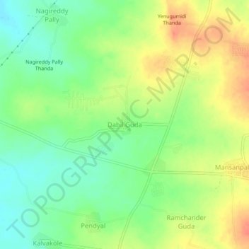
Name: Dabil Guda topographic map, elevation, terrain.
Location: Dabil Guda, Maheswaram mandal, Ranga Reddy, Telangana, India (17.12547 78.35528 17.16547 78.39528)
Average elevation: 614 m
Minimum elevation: 591 m
Maximum elevation: 640 m
Thank you for supporting this site ❤️
Make a donation
Make a donation
Other topographic maps
Click on a map to view its topography, its elevation and its terrain.